|
| |
|

|
Jaguar
|
 |
Montgomery County, MD
Apr 2000
time: 00:37
|
|
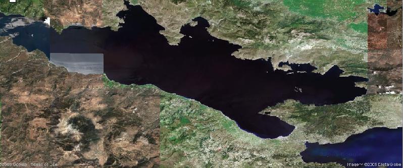
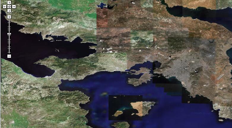
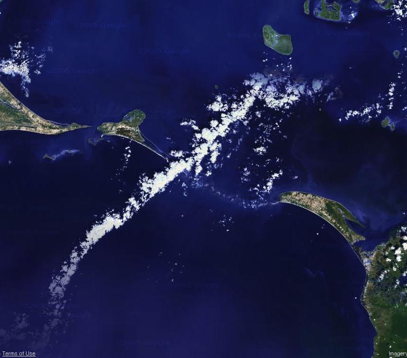
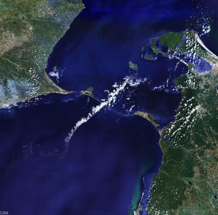
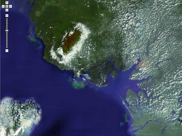
This game uses the wonders of Google Maps, which can show a satellite photo of any location. The clues are screenshots from Google Maps satellite function imaging, and to win, you have to identify what area of the globe is pictured. (Therefore, when making a clue, make sure there's a good name to identify the place by. For example, Gibraltar is acceptable, but a random section of the Eastern Sahara wouldn't work well.)
It's standard guessing game rules. If you guess right, you do the next one. If you're really certain about your guess, you can post a screenshot, zoomed further out, of the area, to prove that you are right. That removes the needless "confirmation" step.
Here's the first image. (The variances in color, are, I assume, due to the photos being taken at different times. But the shape of the land is what's important.) This one is pretty easy, so I expect someone to get it soon.
 Attachment: no cheat.jpg Attachment: no cheat.jpg
This has been downloaded 253 time(s).
|
|
| |
All times are GMT. The time now is 05:37.
Apolyton Time is 00:37. |
top of page
|
|
|
Forum Rules:
You may not post new threads
You may not post replies
You may not post attachments
You may not edit your posts
|
HTML code is ON
vB code is ON
Smilies are ON
[IMG] code is ON
|
|
|
|
|
|





 22-06-2005 08:31







 |
|