 |
| |
|
| |
|
| |
|

|
Boco
|
 |
who was once King for a week.
Jan 2001
time: 00:28
|
|
Also vital is your ability to capture modern-day Syria, Lebanon, Jordan, Israel, and Saudi Arabia with a minimum of casualties. This was after all a sideshow in WWI. High casualties for little gain cost General Murray his job. His successor, Allenby, routed the Turks with fewer casualties than were suffered during one day on the Somme.
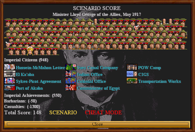
By the end of the game, you will command tanks, armored cars, heavy artillery, aircraft, and perhaps the best mounted infantry that ever fought -- the Australian Light Horse. Can you build the trans-Sinai railroad so that you can deploy this overwhelming force to Palestine in time? Can you control huge swaths of desert and tie down Turks with your Arab irregulars? Can you force the Senussi back to their desert fortress at Kufra?
Geesh EZRhino, you're fast!  Thanks Thanks  , but if you look closely, you'll see the art of a dozen Civvers. , but if you look closely, you'll see the art of a dozen Civvers.
Last edited by Boco on 28-05-2003 at 05:58
|
|
| |
|
|
|
Mao
|
|
Apolyton
Jun 1999
time: 00:28
|
|
erm...the Orient Express, German-Turkish Alliance, Indian Empire (?), Great Pyramids (?), Suez Canal (?), British Army (?)
|
|
| |
|
| |
|
| |
|
| |
|
| |
|
| |
|
| |
|
|
|
Boco
|
|
who was once King for a week.
Jan 2001
time: 00:28
|
|
quote:
erm...the Orient Express, German-Turkish Alliance, Indian Empire (?), Great Pyramids (?), Suez Canal (?), British Army (?) |
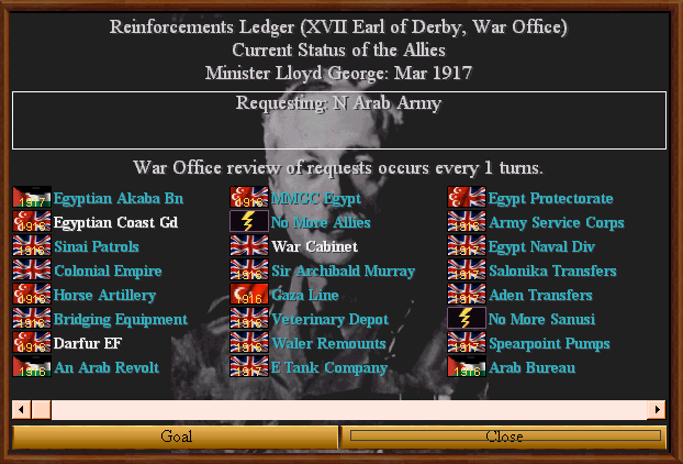
 Those icons aren't too obscure. You were pretty accurate Mao. They represent, Those icons aren't too obscure. You were pretty accurate Mao. They represent,
- Berlin-Baghdad RR
- A particular army HQ (that bolt of lightning is the clue). Any grognards know it?
- The India Office of the British Government
- The Egypt Protectorate
- Yep, it's the canal
- An Egyptian Army HQ (came from "The Four Feathers")
The frames were adapted from BeBro's excellent work.  He had all the bits and pieces to make those word frames. The similarity to AG must have been subconscious. I have it, but I didn't try to copy it - I was aiming for a late colonial style. He had all the bits and pieces to make those word frames. The similarity to AG must have been subconscious. I have it, but I didn't try to copy it - I was aiming for a late colonial style.
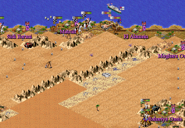
The Mountains (Jhebels) were adapted from Hardjoy's fantastic African graphics. Just 'dried' them up a little and expanded the range of colors.
Herreson, the map's got a few errors that I'm sure you could spot, but hopefully nothing glaring. Along the way, I discovered that 'desert' covers a wide variety of terrains.
Uh-oh, I oughta get off the boards and back to testing.
|
|
| |
|
| |
All times are GMT. The time now is 05:28.
Apolyton Time is 00:28. |
top of page
|
| archivepost |
|
Forum Rules:
You may not post new threads
You may not post replies
You may not post attachments
You may not edit your posts
|
HTML code is ON
vB code is ON
Smilies are ON
[IMG] code is ON
|
|
|
|
|
|





 28-05-2003 05:41


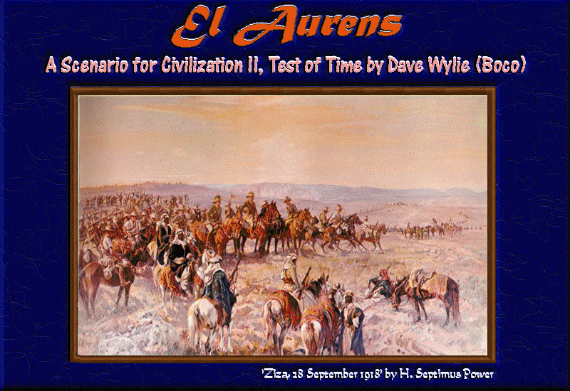
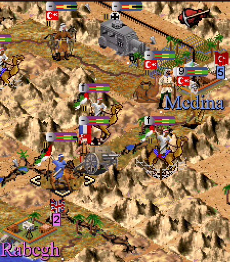
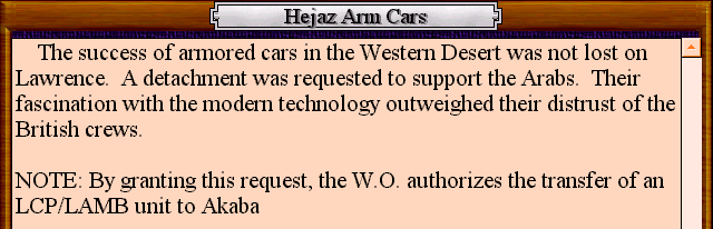
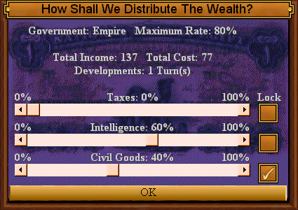
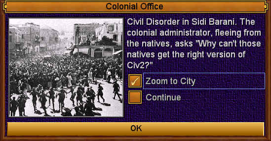
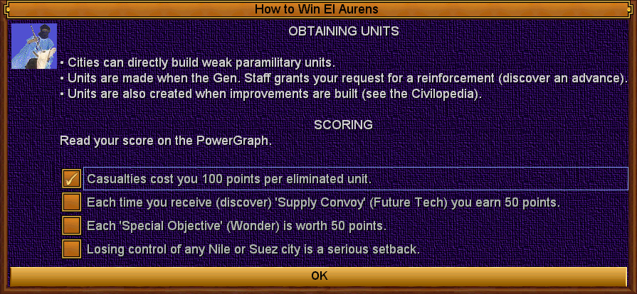
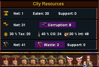
 , I announce the arrival of "El Aurens" sometime in the distant future (seriously, I'm hoping by the end of the year). This ToT scenario depicts the campaigns of the Near East in the Great War from December 1915 to until the war's end. Covering the Senussi and Hejaz revolts as well as the campaign in Sinai then Palestine, it combines both wide-ranging desert scrambles and trench warfare against the Turks in Palestine.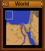




 I support El Awrence demand!




 (@NEWFORTRESS)


 (This image was rearranged and cropped before posting)


 |
|