 |

|
cinch
|
|
Edmonton, Alberta, Canada
Jul 2002
time: 22:27
|
|
Well, Labrador as a whole certainly wasn't part of the Dominion at its inception (1867):

The southern part of Labrador *was* originally part of Quebec, though, as you can see (if the picture shows).
And, apparently, most of Labrador (save for the extreme coast?) was part of Quebec or the NWT until 1949:

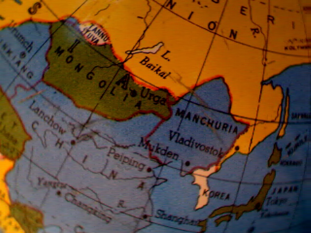
None of that really matters, though, because on the globe, Newfoundland is the same colour as Canada, while Labrador is not. That's just plain silly.
|
|
| |
|
|
|
dejon
|
|
Am I the only one that thinks maybe GSM is toying with everyone, posting pictures of different globes?
|
|
| |
|
|
|
gsmoove23
|
|
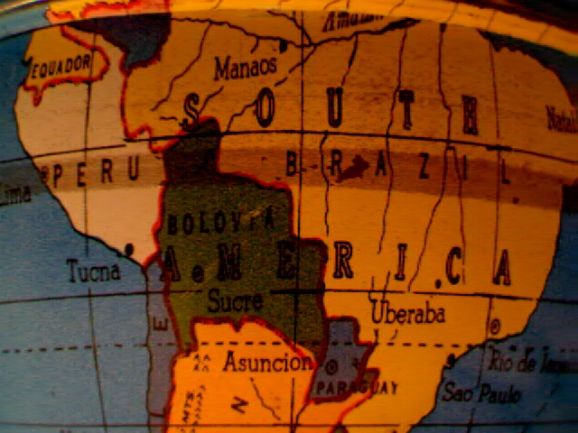
Ecuador and Peru had 3 wars resulting from border disputes, the first in 1942.
and
quote:
Bolivia's territory had always been coveted by its neighbors, encompassing as it did over 2 million square kilometers (780,000 sq mi). Chile's desire for more land first bore fruit in the War of the Pacific, which it fought with Bolivia between 1879 and 1884. Chile triumphed, securing 850km (527mi) of coastline and robbing Bolivia of the port of Antofagasta, leaving the country landlocked. Soon after, Peru, Brazil and Argentina also began hacking away at Bolivia's borders. In 1932, a border dispute with Paraguay in the Chaco region over oil deposits stripped Bolivia of further land. The ensuing Chaco War (1932-1935) also served to foment civil unrest within the country, promulgating reformist associations and leading to a series of coups by reform-minded military leaders. |
I did not know that. It looks like, assuming it was printed in the 40s, they ddn't care to look into changes to the Bolivian border.
|
|
| |
All times are GMT. The time now is 05:27.
Apolyton Time is 00:27. |
top of page
|
| archivepost |
|
Forum Rules:
You may not post new threads
You may not post replies
You may not post attachments
You may not edit your posts
|
HTML code is ON
vB code is ON
Smilies are ON
[IMG] code is ON
|
|
|
|
|
|






 02-05-2003 04:12





 thread.


 |
|